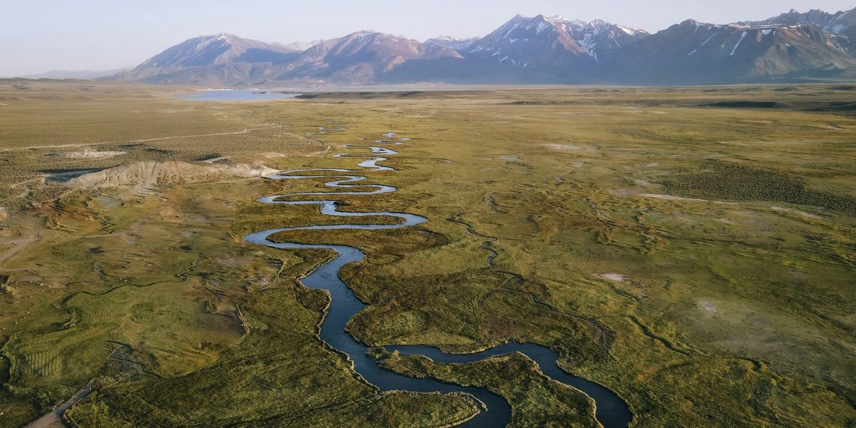
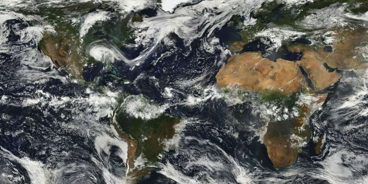
The United States is home to an extraordinary variety of landforms and physical features that span from towering mountain ranges to vast deserts and expansive plains. These diverse landscapes have shaped the history, culture, and economy of the country. The geological processes that created these features have left a lasting imprint, influencing everything from weather patterns to the ecosystems found within these regions. Each part of the U.S. offers a unique view of nature’s power and beauty, offering a rich tapestry of environments.
How Have U.S. Landforms Shaped Regional Identity?
U.S. landforms are not only important in a geological sense but have also played a significant role in the development of regional identities. The Rocky Mountains, for example, have long been a symbol of the American West, a region historically associated with pioneering spirit and adventure. These mountains form a formidable barrier between the eastern and western parts of the country, influencing weather patterns and historical migration routes.
In contrast, the Great Plains, stretching from the eastern Rocky Mountains to the Mississippi River, are synonymous with agriculture. These flat expanses have made farming a major part of the economy, particularly in states like Kansas, Nebraska, and Oklahoma. The fertile soil of the Plains helped transform the region into the “breadbasket” of the United States, providing much of the country’s grain production.
The Appalachian Mountains, another iconic landform, helped define much of the Eastern U.S. The rugged terrain has historically served as a natural barrier, influencing settlement patterns and trade routes. These mountains have also had cultural significance, contributing to the region’s unique traditions and ways of life.
What Are Some Key U.S. Landforms and Physical Features?
The Grand Canyon, one of the most famous landforms in the world, stands as a testament to the power of erosion and geological time. This immense canyon, carved by the Colorado River over millions of years, offers a stunning view into the earth’s history, with its layered rock formations providing clues about the planet’s geological past.
Another defining feature of the American landscape is the Mississippi River, which meanders through much of the U.S. and serves as the primary waterway for trade and transportation. Its role in shaping the physical geography of the country cannot be overstated, influencing the growth of major cities like St. Louis, New Orleans, and Minneapolis. The river has also shaped regional climates, particularly in the southern U.S., where it acts as a moderating force for temperatures.
The Great Lakes, located along the U.S.-Canada border, are the largest group of freshwater lakes in the world by total area. These lakes, including Lake Superior, Lake Michigan, and Lake Erie, have not only shaped the economy of the northern U.S. but have also created unique regional climates. The proximity to the lakes affects the local weather, contributing to more moderate temperatures and greater rainfall.
The Sierra Nevada Mountains are another striking feature, especially prominent in California. These mountains offer a variety of ecosystems, from the arid desert in the eastern foothills to the lush forests at higher elevations. They are also home to the iconic Lake Tahoe, which draws visitors for its crystal-clear waters and outdoor recreational opportunities.
How Do U.S. Landforms Affect Climate and Ecosystems?
The diverse landforms of the U.S. also contribute to a wide range of climatic zones and ecosystems. The Desert Southwest, including areas like Arizona and Nevada, experiences extreme temperatures with low precipitation, creating a unique desert ecosystem. Cacti, such as the saguaro, dominate this region, alongside hardy wildlife like roadrunners and desert tortoises.
In contrast, the Pacific Northwest has a temperate climate thanks to the influence of the Pacific Ocean and the Cascade Range. The region is known for its lush forests, characterized by towering evergreens like Douglas firs and coastal redwoods. This area also experiences frequent rainfall, supporting rich biodiversity and a thriving fishing industry.
The Florida Everglades, a subtropical wetland, are another vital physical feature of the U.S., home to unique wildlife such as alligators and panthers. The Everglades are a critical part of the region’s water system, acting as a natural filtration system that impacts both local agriculture and wildlife.
The Alaska Range, including Mount Denali, the highest peak in North America, contributes to the state’s Arctic climate. The region’s cold conditions foster ecosystems adapted to extreme environments, where plants and animals must endure long winters with very little sunlight.
What Do U.S. Landforms Teach Us About Earth’s Geological History?
Studying the landforms of the U.S. provides valuable insight into the planet’s geological past. The diversity of physical features found across the country is the result of billions of years of tectonic activity, volcanic eruptions, glaciations, and erosion. For example, the Appalachian Mountains are some of the oldest mountains on Earth, dating back over 480 million years. Their rounded, eroded peaks give us clues about the processes of weathering and erosion over time.
The Pacific Coast, with its dramatic cliffs and active fault lines, shows evidence of tectonic plate movements. The region’s seismic activity, such as that caused by the San Andreas Fault, is a reminder of the dynamic forces that shape our planet. These geological processes are not just limited to the past—they continue to shape the landforms of the future.
The Great Basin is another area of geological interest. This region, which spans much of Nevada and parts of Utah, is a landlocked basin that collects water from surrounding mountain ranges. Over millions of years, the area has been shaped by the movement of tectonic plates, as well as the forces of wind and water erosion.
The diverse landforms and physical features of the United States tell a story of geological evolution, shaping not only the natural environment but also the cultural and economic development of the country. From the towering peaks of the Rockies to the vast stretches of the Great Plains, these landscapes influence local climates, ecosystems, and ways of life. As the U.S. continues to face challenges such as climate change and urbanization, understanding these physical features will remain essential in preserving the country’s natural heritage and ensuring sustainable development for future generations. Each landform offers a unique glimpse into Earth’s history, providing invaluable lessons on the forces that continue to shape our planet.


